Tomales Bay
Click here for information about the Tomales Bay mooring program
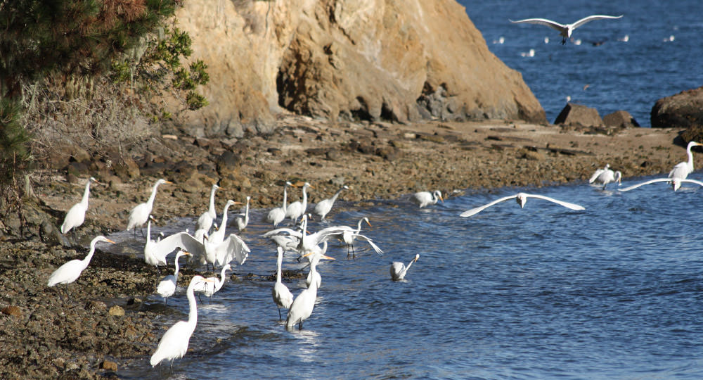
Greater Farallones National Marine Sanctuary (the Sanctuary) protects the waters off the coast of Marin, Sonoma and southern Mendocino Counties including Tomales Bay, which was designated in 2002 as a wetland international importance under the Ramsar Convention and is included in the Golden Gate Biosphere, part of the UNESCO World Network of Biosphere Reserves. Tomales Bay supports a diversity of habitats, including seagrass beds—primarily eelgrass (Zostera marina), intertidal sand and mud flats, and salt and freshwater marshes. The bay is especially important to approximately 20,000 wintering shorebird, seabirds, and waterbirds. The waters of Tomales Bay are also important to many fish species; including salmon, eel, sturgeon, halibut, endangered Coho Salmon, and the commercially important Pacific Herring that rely on its creeks and extensive eelgrass beds to spawn. The bay also supports a resident harbor seal breeding population. The Sanctuary has several programs and projects that protect and manage Tomales Bay: The Vessel Management Plan, The Mooring Program and actions to protect seagrass.
Tomales Bay Vessel Management Plan:
The Tomales Bay Vessel Management Plan (the Plan), addresses vessel sewage discharge, impacts from moorings to habitat including seagrass, derelict or deserted vessels, introduction of invasive species, disturbance of wildlife, and discharges of oil, fuel, and vessel maintenance products. The Environmental Assessment and Initial Study (EA/IS), which is included as an appendix to the Plan, analyzes the potential environmental effects associated with implementation of the Plan consistent with the requirements of the National Environmental Policy Act and California Environmental Quality Act.
Tomales Bay Mooring Program:
Moored boats have been a familiar part of the Tomales Bay landscape for many years, and moorings have historically been and continue to be concentrated in several areas on the east and west shores of the bay.
The Sanctuary and California State Lands Commission (CSLC) initiated the Tomales Bay Mooring Program on Aug 10, 2015, requiring all private vessel mooring owners to obtain a mooring lease from CSLC. The Mooring Program specifies mooring tackle to minimize marine debris, requires inspection and maintenance of moorings to prevent boats from breaking free, sinking and polluting Tomales Bay waters, damaging the seafloor and/or damaging property. The Mooring Program also keeps moorings out of locations where there can be damage to eelgrass, threats to navigation or threats to wildlife and people swimming in Tomales Bay.
The Tomales Bay Mooring Program is based on a precautionary approach and is consistent with the mandates of the agencies that have jurisdiction over the bay. The Mooring Program ensures that boating activities are conducted in a responsible manner—through adoption and implementation of mooring policies and criteria, we can allow for this long-standing tradition of boating to continue, while not adversely affecting the bay.
The primary goals for establishing a program for siting and permitting moorings on the bay are to: protect habitat; decrease threats to and disturbance of wildlife; and ensure safe and enjoyable water-related recreation by allowing moorings in appropriate locations with appropriate materials and removing and preventing moorings and mooring materials that can harm the marine environment.
Tomales Bay Interactive Map:
The Tomales Bay Interactive Map visually represents the mooring criteria and other boating-related resources on the bay. This user-friendly interactive map enables the viewer to determine the geographic coordinates of specific locations without the use of specialized software.