Marine Debris Monitoring and Assessment Project
Background
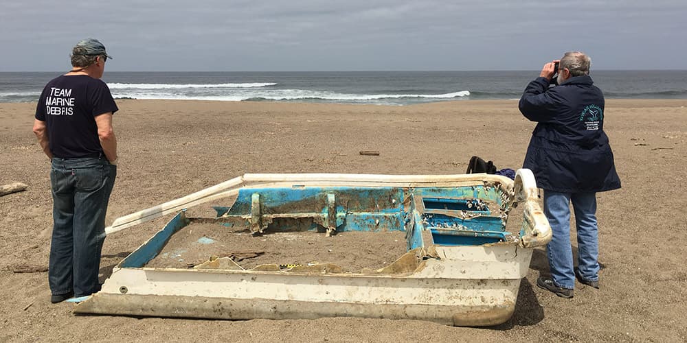
The March 11, 2011 Japanese earthquake and tsunami caused an estimated 1.5 million tons of debris to enter the Pacific Ocean, amplifying the existing marine debris problem. This devastating event became the focus of research to answer important questions surrounding when, where, and with what impacts debris would hit U.S. shores. In July, 2012 the sanctuary joined a network of government, academic, and non-profit partners from the five tsunami impacted states (California, Oregon, Washington, Alaska, and Hawai'i) through partnership in the NOAA Marine Debris Monitoring and Assessment Project (MDMAP). In association with the NOAA Office of Response and Restoration's Marine Debris Program, the MDMAP pilot program engaged citizen scientists to perform monthly marine debris surveys using standardized NOAA protocols. Participation in the program led to the establishment of baseline data detailing the types, abundance, and distribution of marine debris along sanctuary shores.
Data collected from these surveys over six years continues to have site-specific, regional, and national implications. Locally, site-specific baseline data help target better locations and time periods for effective beach clean-up efforts, while preventing harm to wildlife and habitat. Data analysis also helps identify items of local concern and identify future marine debris prevention initiatives such as the Shotgun Wad Debris Reduction Project. Regionally, these data provide site-comparison analysis to better understand the scope of the marine debris problem within our sanctuary and along the West Coast. Data also help measure effectiveness of regional, and statewide marine debris prevention policies. Nationally, data from these surveys help determine the most efficient use of limited funding for marine debris prevention and mitigation efforts.
Methods
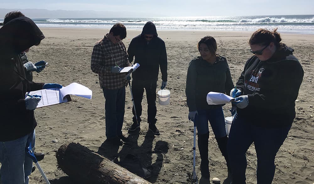
From 2012 – 2018, the sanctuary in partnership with Greater Farallones Association, recruited 145 volunteers to conduct 334 surveys across six sites along our sanctuary shoreline (31 MB PDF). Thanks to the hard work of our volunteers we recorded over 30,000 debris items. All data was entered into NOAA's online MDMAP marine debris database, a central resource for all ongoing data collected through MDMAP. Data analyzed from the surveys looked at trends and patterns in the types, frequency, and abundance of debris along our sanctuary shoreline.
Findings
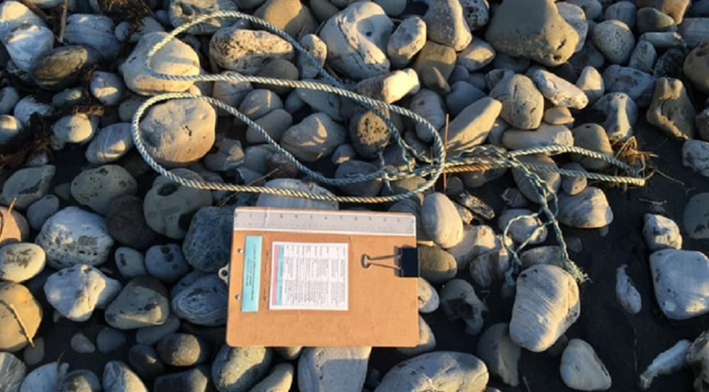
Over 90% of all items recorded through the surveys were plastic, namely hard plastic fragments. Findings from July 2012 - June 2017 surveys (2.3 MB PDF) show that between 41% - 64% of all non-fragment plastic debris at all survey sites were consumer products (water bottles, straws, food wrappers, etc.). Of the top 10 most abundant non-fragment plastic items, bottle caps, straws, shotgun shells/wads, and rope were present at all six sites. This statistic informed development of the sanctuary's second marine debris initiative, the Shotgun Wad Debris Prevention Project.
For more information on the sanctuary's contribution to the MDMAP program, including debris concentration at each survey, deposition patterns associated with storm and seasonal events, and debris trends for items of local concern check out this 2018 Sanctuary Advisory Council presentationand read our five year report. Visit Greater Farallones Association's Marine Debris page to learn more about the Association.