The Ocean Climate Program partners with other agencies and organizations on multiple collaborative projects throughout the Bay Area that address climate change impacts to local coastal and marine ecosystems, including Our Coast, Our Future (OCOF), California King Tides Project, and the San Francisco Bay Area Sentinel Site Cooperative for Sea Level Rise. The sanctuary is also a founding member of the Bay Area Ecosystems Climate Change Consortium (BAECCC).
Our Coast, Our Future
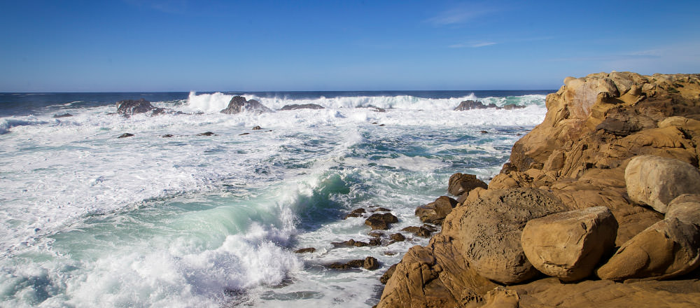
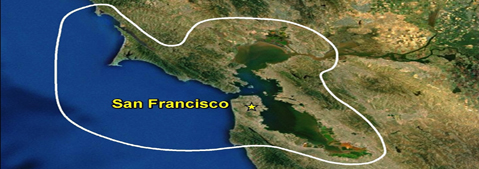
Our Coast, Our Future is a collaborative, user-driven project focused on providing San Francisco Bay Area coastal resource and land use managers and planners locally relevant, online maps and tools to help understand, visualize, and anticipate vulnerabilities to sea level rise and storms within San Francisco Bay and on the outer coast from Half Moon Bay north to Point Arena.
Visit the OCOF Website and view the OCOF Fact Sheet for more information.
Resilient Lands and Waters Landscape
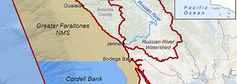
As called for in the Obama Administration’s Priority Agenda for Enhancing the Climate Resilience of America’s Natural Resources, landscapes across the country have been designated to demonstrate the feasibility, practice, and benefits of landscape-scale management approaches toward building climate resilience through the use of existing, cooperative, inter-agency institutions and partnerships. California's North-Central Coast and Russian River Watershed is one such landscape recently designated, and GFNMS is working with a number of federal, state and local partners to inform coastal and marine resource management, watershed restoration, and optimize flood control and water supply reliability for users and the environment.
Sentinel Sites
The NOAA Sentinel Site Program utilizes existing assets, programs, and resources in a place-based, issue-driven approach to ask and answer questions of local, regional, and national significance that affect both NOAA Trust Resources and the surrounding communities.
San Francisco (SF) Bay and its Outer Coast comprise the largest estuarine area on the west coast of the United States. Home to a bounty of natural areas including Greater Farallones and Cordell Bank National Marine Sanctuaries and the San Francisco Bay National Estuarine Research Reserve as well as over 7 million people, the region serves as an ideal area for the variety of NOAA and partner programs to help achieve the vision of the NOAA Sentinel Site Program. The effort for the SF Bay Sentinel Site Cooperative is led by NOAA's Coastal Services Center, Greater Farallones National Marine Sanctuary, and two NOAA-state partnerships – SF Bay Conservation and Development Commission and SF Bay National Estuarine Research Reserve.
Bay Area Ecosystems Climate Change Consortium
Greater Farallones participates as a founding member in the Bay Area Ecosystems Climate Change Consortium, which works to identify and address climate change impacts on local ecosystems by using science to inform adaptive management for long-term ecological and economic benefits.
Visit the BAECCC website for more information.
California King Tides Project
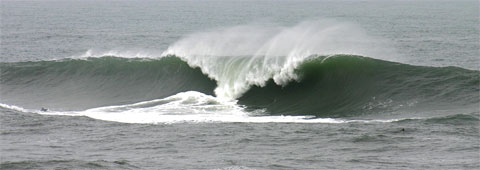
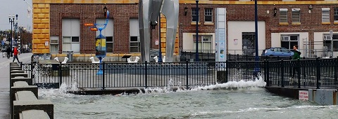
The California King Tides Project seeks to engage citizens to photograph king tides -or the highest winter tides- along the entire California coast, including bays, in order to raise awareness about the potential impacts of flooding events and future sea level rise. In addition, the campaign seeks to create a rich and diverse archive of easily accessible photographs that can be used to inspire action to reduce coastal hazards and impacts from sea-level rise. The California King Tides Project was launched in the winter of 2010/2011 by a partnership of state and federal agencies and non-profit organizations.
Visit California King Tides Project for more information, and follow the initiative on Facebook and Twitter.