Doghole Port: Rule's Landing
Sonoma Coast State Park
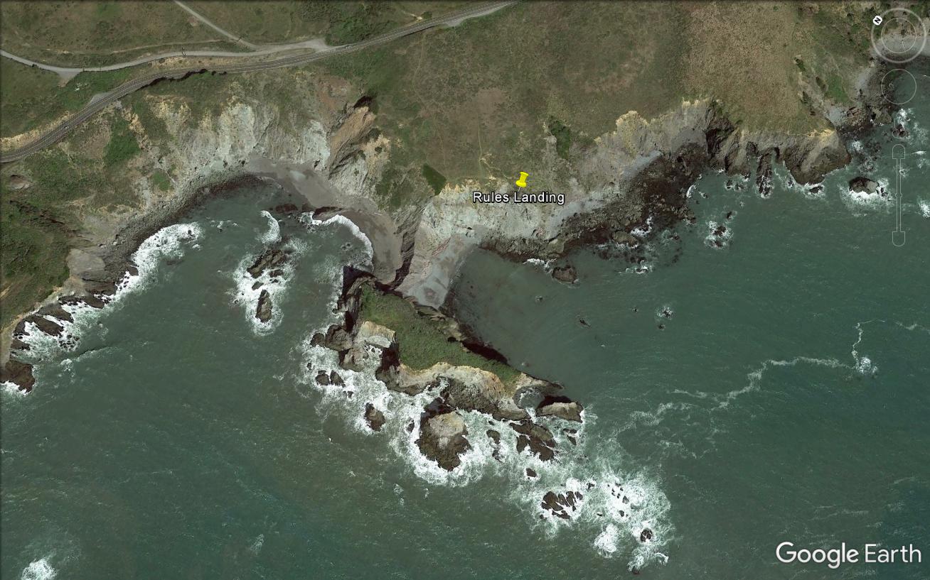
Rule’s Landing is named after the Rule family (John and his wife Elizabeth) who purchased several thousand acres of land in 1870 for ranching and timber operations. Unlike other landings that transitioned from a slide chute to a wire chute, Rule’s Landing only had a wire chute due to the cove’s high and steep cliffs. Reportedly brought in from Duncan’s Landing, installation of the wire inaugurated transshipment operations in 1877. The wire cable infrastructure was taken down in 1884 and moved north to Russian Gulch Landing. Out of date information in the 1889 edition of the Pacific Coast Pilot described the wire chute as stretching 150 yards from a point on the main bluff to a rock close under the extremity of the head. Vessels moored under it in the center of the cove. Other mooring buoys were placed outside the cove to help sailing vessels warp out once loaded.
Rule’s Landing is now part of Sonoma Coast State Park, with very little extant remains of the port’s infrastructure. The lack of archaeological material is likely due to the port’s very short lifespan and erosion of the headlands. Divers did not conduct an underwater survey of Rule’s Landing due to rough sea conditions and very limited information in the historical record about lumber chute and mooring positions.
-- Deborah Marx, Maritime Archaeologist, Maritime Heritage Program, Office of National Marine Sanctuaries
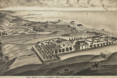
Drawing of the Rule Ranch from the Thompson and West’s Historical Atlas of Sonoma County, 1877.
Credit: David Rumsey Historical Map Collection
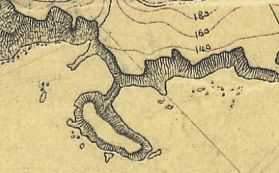
The U.S. Coast and Geodetic Survey T-sheet from 1876 does not depict any port infrastructure at Rule’s Landing as it had not been installed.
Credit: NOAA’s Historical Map & Chart Collection
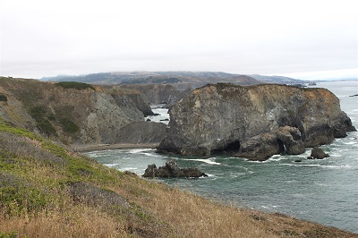
View from the north looking south at the backside of Rule’s Landing. The chute would have been on the other side out of view from this vantage point.
Credit: NOAA ONMS and California State Parks